1. (wpt 1) 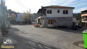 (altitude = 86m)
The beginning of the route is in the Square of the village of Kassandrinos. The village has small cafes, taverns and at 3 kilometers to the beach, is the village of Fourka.
2. At 160 m continuing straight we meet an intersection (wpt 2) 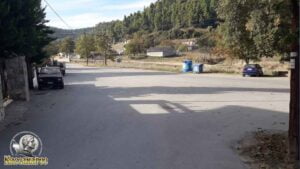 (altitude = 79m)
and we continue our route following the road to the left..
3. At 280 m (wpt 3) 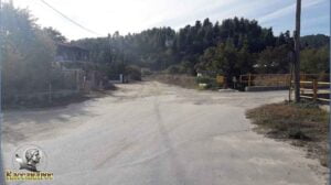 (altitude = 79m)
we will meet an intersection and continue our course straight on the dirt road.
4. We continue our course following the main dirt road until at 1.30 km we meet (wpt 4) 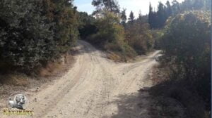 (altitude = 93m)
it has an intersection and we will continue left on the main dirt road.
5. At 1.50 km we will meet (wpt 5) 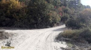 (altitude = 98m)
has an intersection and we will continue right on the main dirt road.
6. At 2.23 km we will meet (wpt 6) 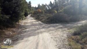 (altitude = 107m)
it has an intersection and we will continue our course straight.
7. At 2.37 km we will meet (wpt 7) 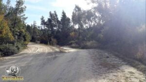 (altitude = 104m)
there is an intersection and we will continue to the right on the main dirt road..
8. At 3.47 km we will meet (wpt 8) 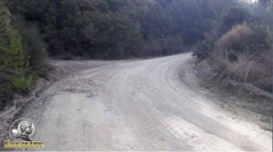 (altitude = 198m)
there is an intersection and we will continue to the right on the main dirt road..
9. At 3.82 km we will meet (wpt 9) 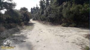 (altitude = 228m)
it has an intersection and we will continue our course straight.
10. At 4.14 km we will meet (wpt 10) 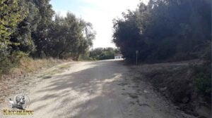 (altitude = 240m)
it has an intersection and we will continue our course straight.
11. At 4.20 km we will meet (wpt 11) (altitude = 245 m )
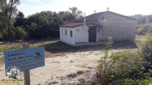
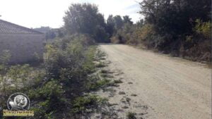
it has an intersection and we will continue to the right on the main dirt road. The church of Agia Anastasia (built in 1890) is built on this spot and has a wonderful mosaic floor made of pebbles.
12. At 4.54 km we will meet (wpt 12) 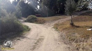 (altitude = 256m)
it has an intersection and we will continue our course to the left.
13. At 4.86 km we will meet (wpt 13) (altitude = 273 m )
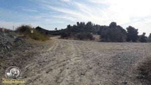
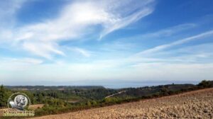
it has an intersection and we will continue our course to the left.
14. At 5.54 km we will meet (wpt 14) 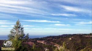 (altitude = 285m)
we will meet a point of amazing view towards Olympus and Thermaikos Gulf.
15. At 5.91 km we will meet (wpt 15) 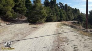 (altitude = 293m)
it has an intersection and we will continue our course straight and slightly to the right.
16. At 6.06 km we will meet (wpt 16) 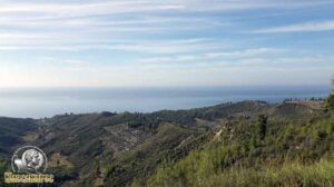 (altitude = 295m)
we will meet a point of amazing view towards Olympus and Thermaikos Gulf.
17. At 6.41 km we will meet (wpt 17) 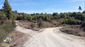 (altitude = 280m)
it has an intersection and we will continue our course to the right.
18. At 7.36 km we will meet (wpt 18) 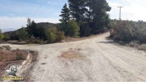 (altitude = 303m)
it has an intersection and we will continue our course to the right.
19. At 8.19 km we will meet (wpt 19) 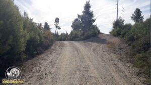 (altitude = 336m)
it has an intersection and we will continue our course to the left.
20. At 8.65 km we will meet (wpt 20) (altitude = 322 m )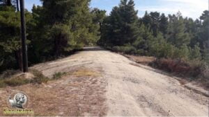
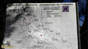
has an intersection and we will continue our course straight without leaving the main dirt road. At this point there is also the Map from the Kassandra Forestry which shows you the exact position you are at that moment.
21. At 9.30 km we will meet (wpt 21) 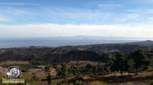 (altitude = 336m)
we will meet a point of amazing view towards the Sithonia Peninsula, the peak from Mount Athos (Mount Athos) and the Toroneo Gulf.
22. At 9.44 km we will meet (wpt 22) 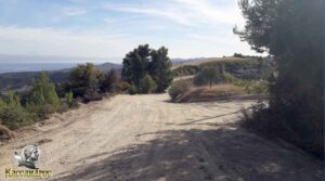 (altitude = 332m)
it has an intersection and we will continue our course straight.
23. At 9.60 km we will meet (wpt 23) 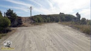 (altitude = 315m)
it has an intersection and we will continue our course to the right.
24. At 10.30 km we will meet (wpt 24) 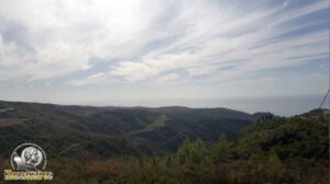 (altitude = 302m)
we will meet a point of amazing view towards the Sporades Islands, Mount Olympus and Thermaic Gulf.
25. At 10.63 km we will meet (wpt 25) 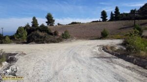 (altitude = 276m)
it has an intersection and we will continue our course to the right.
26. At 11.64 km we will meet (wpt 26) 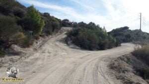 (altitude = 312m)
has an intersection where
1. To the left we climb to the highest point of the entire Kassandra peninsula with an amazing view to all sides (Sithonia, Mount Athos, Olympus, etc.) and
2. To continue the route to the village of Agia Paraskevi, continue our course to the right
27. At 11.82 km we will meet (wpt 27) (altitude = 327 m) 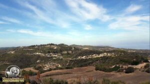
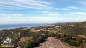
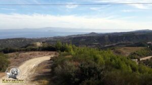
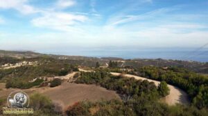
climbing 28m uphill we end up at Livadakia. The fire station of the Kassandra forest office is also at this point. There we enjoy the fantastic view and see the whole Kassandra Peninsula, in the East, we see the whole Western side of the Sithonia Peninsula (Nikiti, Neo Marmara etc) as well as a section (top) of Mount Athos from the Mount Athos Peninsula and in the West we see the Eastern side of Olympus, North we can see as far as the Petralona Cave mountain while South we can see as far as Skiathos and Skopelos islands when the purity of the atmosphere allows.
28. At 12.20 km we will meet (wpt 28) 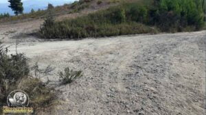 (altitude = 289m)
it has an intersection and we will continue our course to the right.
29. At 12.63 km we will meet (wpt 29) 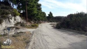 (altitude = 249m)
has an intersection and we will continue our course straight with a slight direction to the right.
30. At 13.31 km we will meet (wpt 30) 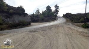 (altitude = 244m)
we will meet the central asphalt road that connects the village of Nea Skioni to the North and the village of Hanioti to the South. We cross the main road vertically and we will continue our course straight – left without leaving the main dirt road.
31. At 14.07 km we will meet (wpt 31) 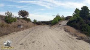 (altitude = 263m)
has an intersection and we will continue our course straight.
32. At 14.28 km we will meet (wpt 32) 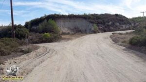 (altitude = 252m)
has an intersection and we will continue our course straight on the main dirt road to the right (turn).
33. At 14.65 km we will meet (wpt 33) 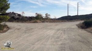 (altitude = 260m)
has an intersection and we will continue our course on the main dirt road to the right turn.
34. At 15.04 km we will meet (wpt 34) 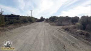 (altitude = 269m)
it has an intersection and we will continue our course straight on the main dirt road uphill.
35. At 15.40 km we will meet (wpt 35) 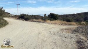 (altitude = 284m)
it has an intersection and we will continue our course to the left.
36. At 16.25 km we will meet (wpt 36) 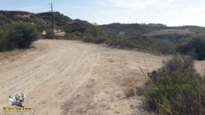 (altitude = 283m)
it has an intersection and we will continue our course to the left.
37. At 16.38 km we will meet (wpt 37) 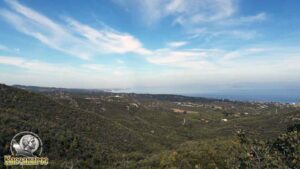 (altitude = 277m)
there we enjoy the fantastic view and see Chanioti, Kallithea, Athyto etc.
38. At 16.49 km we will meet (wpt 38) 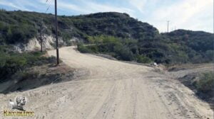 (altitude = 277m)
there is a junction where we will continue our course to the left – slightly straight uphill.
39. At 16.81 km we will meet (wpt 39) 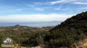 (altitude = 285m)
there we enjoy the fantastic view and see Pefkohori, Niso Kelyfos etc.
40. At 17.14 km we will meet (wpt 40) 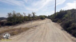 (altitude = 283m)
there is an intersection where we will continue our course to the right – slightly straight.
41. At 17.34 km we will meet (wpt 41) 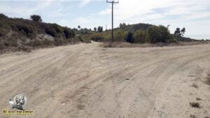 (altitude = 276m)
there is an intersection where we will continue our course to the left – slightly straight.
42. At 18.03 km we will meet (wpt 42) 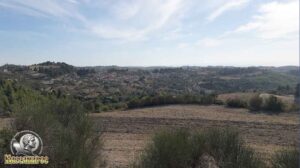 (altitude = 282m)
there we enjoy the fantastic view of the village of Agia Paraskevi and the beautiful landscape.
43. At 18.30 km we will meet (wpt 43) 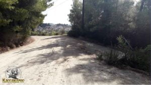 (altitude = 266m)
there is an intersection where we will continue our course to the left.
44. At 18.89 km we will meet (wpt 44) 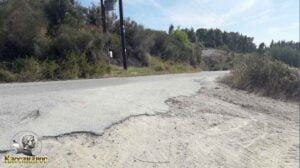 (altitude = 252m)
there we meet the intersection from the asphalt road that comes from Pefkohori to Agia Paraskevi and we will continue our course to the right towards Agia Paraskevi (asphalt).
45. At 19.32 km we will meet (wpt 45) 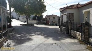 (altitude = 221m)
we meet the intersection where the plane tree of the village is located and we continue our course to the right towards the central square of the village.
46. At 20.00 km we will meet (wpt 46) 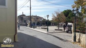 (altitude = 220 m)
we arrive at the central square of Agia Paraskevi. The village has the Historical Folklore Museum where you can see the local history and how the inhabitants lived in earlier times. It has small cafes, taverns, and you can find honey and cheese from the local producers. At a distance of 6 kilometers from the beach, there are the famous Baths of Agia Paraskevi with their state-of-the-art SPA.