Accommodation in Kallithea, Halkidiki
Route Pefkohori - Port of Glarokavo - Port of Chrousso 10.22 km

From Thessaloniki: (1.30 hours) We move along E.Odou Thessaloniki - Kassandreia and take the Exit to Kallithea – Kriopigi and then to Pefkohori
Route information for cycling
PEFKOCHORI – PORT OF GLAROKAVOS – PORT OF CHRUSSO
Starting point: Pefkohori
Termination: Port of Khrousso
Total Distance: 10.22 Km
Minimum Altitude: 0m
Maximum Altitude: 23m
Altitude difference of ascent: 38m
Altitude difference of descent: 41m
Trackpoints: 378
Degree of Difficulty: it is easy, it needs a bike for dirt and in a certain area for 150m it needs attention because of sand.
Road conditions : It is a combination of asphalt (2%) and dirt road (97%) and sand (1%).
Route safety: it is a route that a car (jeep) can follow for greater safety,
In some places you may even come across beehives. due to the fact that the area is a forest and local honey is produced.
Route Information for Hiking
PEFKOCHORI – PORT OF GLAROKAVOS – PORT OF CHRUSSO
Starting point: Pefkohori
Termination: Port of Khrousso
Total Distance: 10.22 Km
Minimum Altitude: 0m
Maximum Altitude: 23m
Altitude difference of ascent: 38m
Altitude difference of descent: 41m
Trackpoints: 378
Degree of Difficulty: it is easy, it needs shoes for dirt and in a certain area for 150m it needs attention because of sand.
Road conditions : It is a combination of asphalt (2%) and dirt road (97%) and sand (1%).
Route safety: it is a route that a car (jeep) can follow for greater safety,
In some places you may even come across beehives. due to the fact that the area is a forest and local honey is produced.
Track details and analysis
1. (wpt 1) 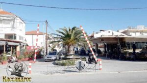 (altitude = 3m)
The beginning of the route is in the square of Pefkohori village. The village has been awarded a blue flag for its beach, it has many rooms for rent and hotels, cafes, beach bars, taverns, and a wonderful night life.
We start our journey through the pedestrian street towards the beach of Pefkohori.
2. At 160 m (wpt 2) 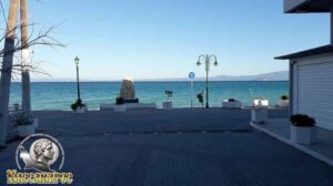 (altitude = 2m)
we reach the beach where we meet an intersection and turn right following the entire coastal road to the end. (it's a pedestrian street)
3. After 970 m (wpt 3)  (altitude = 0m)
at the end of the coastal road we will meet an intersection and continue our course to the right following the concrete road.
4. At 1.26 km we will meet (wpt 4) 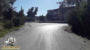 (altitude = 2m)
it has a triple junction and we turn left onto the asphalt road.
5. At 3.15 km we will meet (wpt 5) 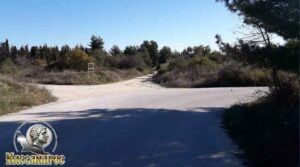 (altitude = 4m)
it has a triple junction and we turn left onto the main dirt road to the beach.
6. At 3.44 km we will meet (wpt 6) 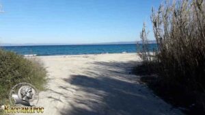 (altitude = 0m)
and we will continue our course to the right at the intersection and head towards the port of Glarokavos without leaving the main dirt road.
7. At 4.55 km we will meet (wpt 7)  (altitude = 1 m)
and we will continue our course to the right at the intersection without leaving the main dirt road towards the port of Glarokavos.
8. At 4.59 km we will meet (wpt 8) 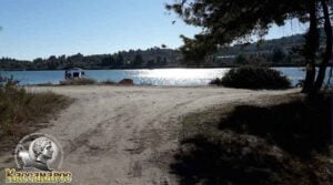
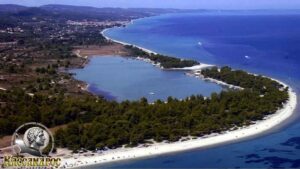 (altitude = 1 m)
we arrived at the port of Glarokavos, which is a natural harbor that protects the small fishing boats of the area. We will continue our course to the right at the intersection without leaving the main dirt road around the port.
9. At 4.76 km we will meet (wpt 9) 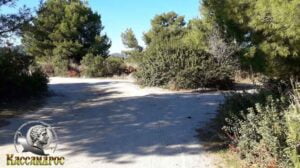 (altitude = 1 m)
and we will continue our course to the left at the intersection on the dirt road.
10. At 5.24 km we will meet (wpt 10) 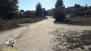 (altitude = 1 m)
and we will continue our course to the left at the intersection without leaving the main dirt road.
11. At 5.70 km we will meet (wpt 11) 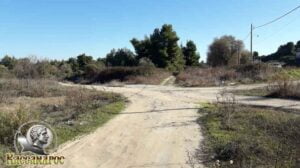 (altitude = 7m)
and we will continue our course to the left at the intersection without leaving the main dirt road towards the beach.
12. At 6.47 km we will meet (wpt 12) 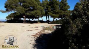 (altitude = 2m)
and we will continue our course to the right at the intersection without leaving the main dirt road.
13. At 6.72 km we will meet (wpt 13) 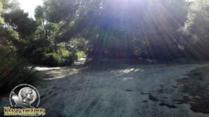 (altitude = 2m)
and we will continue our course straight to the intersection without leaving the main dirt road through the trees.
Caution!!! For the next 150 m there will be sand in some places.
14. At 7.00 km we will meet (wpt 14) 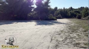 (altitude = 0m)
we will meet an intersection where we will continue to the right following the main dirt road. At this point there is a wonderful viewpoint in front of the beach where you can see the Sithonia Peninsula and the peak of Mount Athos (Mount Athos).
15. At 7.54 km we will meet (wpt 15) 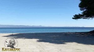 (altitude = 3m)
At this point there is a wonderful view point in front of the beach where you can see the Sithonia Peninsula and the top of Mt. Athos (Mount Athos) and we will continue our course straight without leaving the main dirt road.
16. At 7.63 km we will meet (wpt 16) 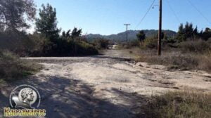 (altitude = 3m)
we will meet a triple junction and continue straight to the main road (asphalt).
17. At 7.86 km we will meet (wpt 18) 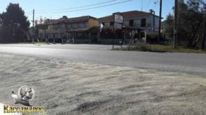 (altitude = 9m)
we reach the central intersection of Paliouri - Pefkohori road and turn left following the main road towards Paliouri. (asphalt)
Caution !!! for the next 1.45 km it is the main road with increased traffic during the summer months.
19. At 9.31 km we will meet (wpt 19) 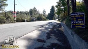 (altitude = 16m)
and we will meet the intersection to Paliouri camping (Xenia) where we will turn left towards the beach.
20. At 9.50 km we will meet (wpt 20) 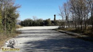 (altitude = 1 m)
pass the gate and meet an intersection where we will continue right on the dirt road.
20. At 9.97 km we will meet (wpt 21) 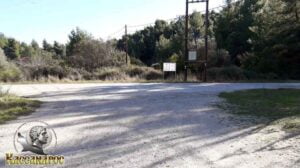 (altitude = 1 m)
we will meet an intersection where we will turn left towards the beach following the asphalt road.
21. At 10.22 km we will meet (wpt 22) 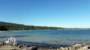 (altitude = 0m)
we arrived at the Port of Chroussos.
The area is famous for its clear, crystal clear waters as the area during the summer months has large beach bars with many facilities for enjoyable holidays and relaxation.
END OF ROUTE
SOURCE: www.kassandra-guide.gr
ASSOCIATION ROOMS-APARTMENTS FOR RENT
HEADQUARTERS: 63077 Kallithea Halkidiki
Phone. : +306978099854
E-mail: ammonzeus2012@gmail.com
The Association Ammon Zeus is an organization based on the idea of individual apartment-enterprises joining together in an association.
Founded in times of an economical crisis, the intention of this community is to support each other in implementing new projects and
to realize new agreements with regional, national and international associations.
Our organization is present at international tourist-fairs, operates in cooperation with local authorities, is involved with environmental protection,
supports development-plans of the region and is represented at cultural events in Kassandra.
New companies are welcome to join our project with the objective to establish further co-operations and enable new possibilities to optimize tourism.
Kassandra is a place with landscapes of unique beauty, a wide variety of local products and warm hospitality. It is our responsibility to represent this region in the best possible way.
Sincerely
GEORGIOS THOMASOULIS
President of Association
Subscribe to our newsletter
Board of Directors of Ammon Zeus Association:
- CHAIRMAN GEORGIOS THOMASOULIS
- VICE PRESIDENT : POPPIS IOANNIS
- G. SECRETARY : CHARALAMPIDIS EFTHYMIOS
- CASHIER: ANTONIADOU FOTEINI
- Deputy G. SECRETARY: LONGINIDIS IOANNIS
- MEMBERS SAKALIS DIMITRIOS
- MEMBERS POPPI CHRISTINA
Ammon Zeus
ASSOCIATION OF ROOMS-APARTMENTS FOR RENT
- HEADQUARTERS: 63077 Kallithea Halkidiki
- Phone: +306978099854
- Email: ammonzeus2012@gmail.com


