Accommodation in Kallithea, Halkidiki
Route Kriopigi - Polychrono - Hanioti - Pefkohori

From Thessaloniki: (1.00 hour) We move along E.Odou Thessaloniki - Kassandreia and take the Exit to Kallithea and then to Kriopigi
Route information for cycling
KRYOPIGI – LONG-TERM – CHANIOTI - PEFKOCHORI
Starting point: Kriopigi
End: Pefkohori
Total Distance: 13.89 Km
Minimum Altitude: 0m
Maximum Altitude: 101m
Altitude difference of ascent: 22m
Altitude difference of descent: 129m
Trackpoints: 500
Degree of Difficulty: it is easy, you need a bike for asphalt and for a few meters for soil - stones. . The route becomes more difficult when one does it in reverse from Pefkohori - Kriopigi as there is a big uphill, with a steep slope, before the village of Kriopigi.
Road conditions: It is a combination of asphalt (99%) and dirt road (1%). If one chooses to go from the main road, it is 100% asphalt.
Route safety: it is a route that can also be followed by a car (jeep) for greater safety, it only needs attention at the points of the main road and at the points in the village squares, when in the summer months there are traffic prohibition bars for vehicles.
In general, it is a pleasant ride almost next to the beach..
Route Information for Hiking
KRYOPIGI – LONG-TERM – CHANIOTI - PEFKOCHORI
Starting point: Kriopigi
End: Pefkohori
Total Distance: 13.89 Km
Minimum Altitude: 0m
Maximum Altitude: 101m
Altitude difference of ascent: 22m
Altitude difference of descent: 129m
Trackpoints: 500
Degree of Difficulty: it is easy, you need shoes for asphalt and for a few meters for soil - stones. . The route becomes more difficult when one does it in reverse from Pefkohori - Kriopigi as there is a big uphill, with a steep slope, before the village of Kriopigi.
Road conditions: It is a combination of asphalt (99%) and dirt road (1%). If one chooses to go from the main road, it is 100% asphalt.
Route safety: it is a route that can also be followed by a car (jeep) for greater safety, it only needs attention at the points of the main road and at the points in the village squares, when in the summer months there are traffic prohibition bars for vehicles.
In general, it is a pleasant ride almost next to the beach..
Track details and analysis
1. (wpt 1) 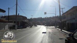 (altitude = 98m)
The beginning of the route is from the traffic lights of Kriopigi. The village has a wonderful beach, cafes, taverns, bars, rooms for rent and hotels and at a distance of 4 kilometers to Kallithea are the night clubs that the area has...
In Kriopigi is the Pedagogical Research and Training Center, which is an offer sponsored by the couple Dr. Erhart and Sofia Ziegler. This center is a meeting point throughout the year for educators from all over the world, who come here to collaborate and attend the seminars and conferences it organizes.
The natural products of the area, which are honey, fruit, wine, olives, olive oil and to visit the fountain, from which the village takes its name, which has existed for tens of years.
We will continue our journey straight towards Polychrono following the main road (there is a sidewalk on the left of the route).
2. At 1.50 km we meet (wpt 2) 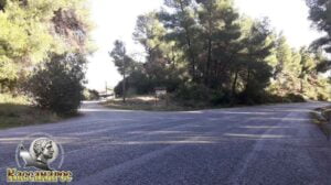 (altitude = 61m)
has an intersection and we have the following options:
1. Turn left leaving the main road and follow the asphalt (it is safer for pedestrians)
2. We continue our journey on the main road to Polychrono (it has a lot of traffic from cars and for bicycles it is not as dangerous as for pedestrians)
Both roads will meet a few meters down at the same point. Your choice!!!!
We will show you the safe way for pedestrians by turning left and leaving the main road.
3. After 1.70 km (wpt 3) 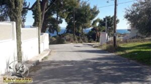 (altitude = 49m)
we will meet an intersection and continue our course to the right following the dirt road downhill.
4. We continue our course following the main dirt road until at 1.77 km we meet (wpt 4) 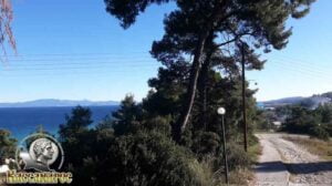 (altitude = 48m)
it has a view point where you can see the whole Toronean Gulf, the western side of Sithonia peninsula and in the South you will see Polychrono when the atmosphere has clear visibility. We continue our way downhill
(Caution !!!! on the left has a concrete sidewalk all the way downhill while the dirt road is full of stones)
5. At 2.35 km we will meet (wpt 5) 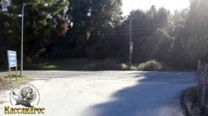 (altitude = 7m)
it has an intersection where we meet the main road again the E.O Kriopigis – Polychronou and we will continue our course to the left on the edge of the main road towards the downhill.
(Attention!! it has a large opening for the safety of bicycles as well as pedestrians on the side of the road on the left as a "sidewalk"!!).
Here is the common point of the two options we mentioned above in (wpt 2)!!!
6. At 2.49 km we will meet (wpt 6) 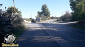 (altitude = 6m)
it has an intersection where we will leave the main road E.O Kriopigi – Polychronou and continue our course to the left towards beach following the asphalt road.
7. At 3.60 km we will meet (wpt 7) 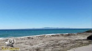 (altitude = 1 m)
it has a view point where you can see the whole Toronean Gulf, the western side of Sithonia peninsula and the beach while we continue our course straight following the asphalt road.
8. At 5.01 km we will meet (wpt 8) 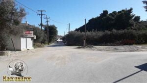 (altitude = 5m)
has an intersection and we will continue our course straight uphill to the center of Polychronos.
9. Στο 5,30 km θα συναντήσουμε το (wpt 9) 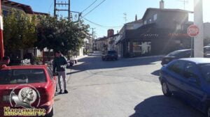 (altitude = 16m)
has an intersection and we will continue our course straight uphill to the center of Polychronos.
10. At 5.47 km we will meet (wpt 10) (altitude = 19m)
we arrived at the church of Agios Athanasios
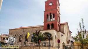
and the famous Polychronos Folklore Museum. There you can also admire the local lifestyle of the local residents many years ago.
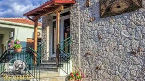

Polychrono has many rooms to let and hotels for your best stay as a huge beach stretches along the village, many cafes, beach bars, restaurants, taverns and for the evening it has many bars.
At a distance of 2.85 kilometers to the ridge of the Kassandra Peninsula there is the famous Lake Mavrobara,
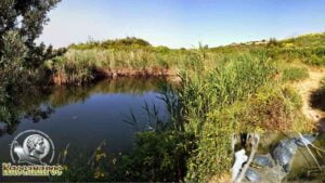
which is protected by the Bonn Convention N.2719 and the Directive of the European Union for the conservation of wild flora and fauna as there are three rare species of turtles
01 Emys orbicularis (Carl Linnaeus 1758)
02 Mauremys caspica (Achille Valenciennes 1833)
03 Testudo hermanni boettgeri (Mojsisovics 1889)
We continue our course straight.
11. At 5.61 km we will meet (wpt 11) 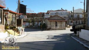 (altitude = 16m)
it has a small intersection and we will continue our journey by turning left following the pedestrian street, passing in front of the central square of Polychronos.
12. At 5.93 km we will meet (wpt 12) 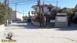 (altitude = 19m)
it has a four-way intersection (end of pedestrian path) and we will continue our course straight slightly to the left following the tarmac road to Haniotis.
13. At 8.34 km we will meet (wpt 13) 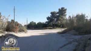 (altitude = 11m)
it has a small intersection and we will continue our course by turning left following the main asphalt road.
14. At 9.89 km we will meet (wpt 14) 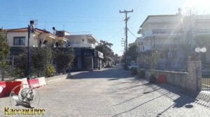 (altitude = 9m)
where there is an intersection and we will continue our course straight towards the central square of Chanioti. (it is a pedestrian street - paved).
15. At 10.00 km we will meet (wpt 15) 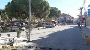 (altitude = 16m)
we have reached the Central Square of Hanioti and we will continue our course straight uphill.
Hanioti has many rental rooms and hotels for your best stay as a huge beach stretches along the village, many cafes, beach bars, restaurants, taverns and for the evening it has many bars.
16. At 10.14 km we will meet (wpt 16) 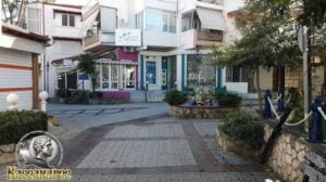 (altitude = 17m)
there is an intersection and we will continue our course turning left downhill following the paved footpath..
17. At 10.21 km we will meet (wpt 17) 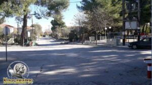 (altitude = 18m)
there is a triple junction (end of the paved footpath. Here there are no-vehicle bars during the summer months) and we will continue the our course straight uphill.
18. At 10.33 km we will meet (wpt 18) 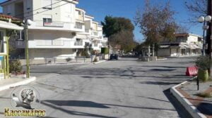 (altitude = 12m)
there is a triple junction and we will continue our course straight ahead downhill, towards the exit of Chanioti.
19. At 12.00 km we will meet (wpt 19) 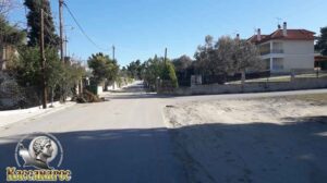 (altitude = 6m)
there is an intersection, we will continue our course straight towards Pefkohori.
20. At 12.70 km we will meet (wpt 20) 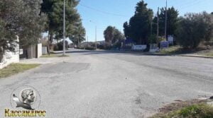 (altitude = 8m)
where there is a small intersection,
1. On the left we continue our course towards the beach
2. From the right is the main road to Pefkohori
We continue our course to the left and in 8 m turn left again downhill to the beach.
21. At 12.78 km we will meet (wpt 21) 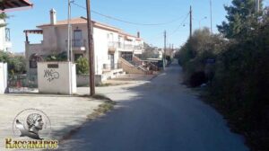 (altitude = 6m)
there is an intersection and we will turn left downhill to the beach.
22. At 13.02 km we will meet (wpt 22) 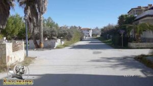 (altitude = 2m)
there is an intersection and we will turn left towards the beach.
23. At 13.10 km we will meet (wpt 23) 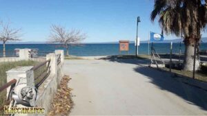 (altitude = 2m)
there is an intersection and we will turn right following the coastal road.
24. At 13.89 km we will meet (wpt 24) 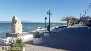 (altitude = 1 m)
we reached the beach of Pefkohori.
Pefkohori has many rooms for rent, hotels, wonderful taverns and restaurants, bars for to enjoy your walk in the area as well as intense nightlife. About 3 kilometers outside of Pefkohori towards Paliouri there is the natural port of Glarokavos as well as many well-known beach bars.
END OF ROUTE
SOURCE: www.kassandra-guide.gr
ASSOCIATION ROOMS-APARTMENTS FOR RENT
HEADQUARTERS: 63077 Kallithea Halkidiki
Phone. : +306978099854
E-mail: ammonzeus2012@gmail.com
The Association Ammon Zeus is an organization based on the idea of individual apartment-enterprises joining together in an association.
Founded in times of an economical crisis, the intention of this community is to support each other in implementing new projects and
to realize new agreements with regional, national and international associations.
Our organization is present at international tourist-fairs, operates in cooperation with local authorities, is involved with environmental protection,
supports development-plans of the region and is represented at cultural events in Kassandra.
New companies are welcome to join our project with the objective to establish further co-operations and enable new possibilities to optimize tourism.
Kassandra is a place with landscapes of unique beauty, a wide variety of local products and warm hospitality. It is our responsibility to represent this region in the best possible way.
Sincerely
GEORGIOS THOMASOULIS
President of Association
Subscribe to our newsletter
Board of Directors of Ammon Zeus Association:
- CHAIRMAN GEORGIOS THOMASOULIS
- VICE PRESIDENT : POPPIS IOANNIS
- G. SECRETARY : CHARALAMPIDIS EFTHYMIOS
- CASHIER: ANTONIADOU FOTEINI
- Deputy G. SECRETARY: LONGINIDIS IOANNIS
- MEMBERS SAKALIS DIMITRIOS
- MEMBERS POPPI CHRISTINA
Ammon Zeus
ASSOCIATION OF ROOMS-APARTMENTS FOR RENT
- HEADQUARTERS: 63077 Kallithea Halkidiki
- Phone: +306978099854
- Email: ammonzeus2012@gmail.com


