Accommodation in Kallithea, Halkidiki
Route Kassandrino - Mola Kalyva 7.01 km

From Thessaloniki: Duration: 1.20 hrs We move along E.Odou Thessaloniki - Kassandreia and take the Exit to
- Kallithea and then to Polychrono – Kassandrino,
- Kassandria – Siviri – Fourka – Kassandrino
Route information for cycling
Kassandrino - Mola Kalyva
Starting point: Kassandrino
Finishing: Mola Kalyva
Total Distance: 7.01 kilometers
Minimum Altitude: 13m
Maximum Altitude: 296m
Altitude difference of ascent: 247m
Altitude difference of descent: 323m
Trackpoints: 300
Degree of Difficulty: medium to difficult as the first 4-5 kilometers are uphill as we go up through the forest and then easy as the route is downhill.
Road conditions: It is a combination of asphalt (2%) and dirt road (98%).
Route safety: it is a route that a car (jeep) can also follow for greater safety.
In some places you may even come across beehives. due to the fact that the area is a forest and local honey is produced.
Route Information for Hiking
Kassandrino - Mola Kalyva
Starting point: Kassandrino
Finishing: Mola Kalyva
Total Distance: 7.01 kilometers
Minimum Altitude: 13m
Maximum Altitude: 296m
Altitude difference of ascent: 247m
Altitude difference of descent: 323m
Trackpoints: 300
Degree of Difficulty: medium to difficult as the first 4-5 kilometers are uphill as we go up through the forest and then it is easy as the route is downhill, requires dirt shoes.
Road conditions: It is a combination of asphalt (2%) and dirt road (98%).
Route safety: it is a route that a car (jeep) can also follow for greater safety.
In some places you may even come across beehives. due to the fact that the area is a forest and local honey is produced.
Track details and analysis
1. (wpt 1) 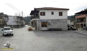 (altitude = 80m)
The beginning of the route is from the central Square of the village of Kassandrinos, it has a tap for gargling cold water, a coffee shop, the Church of the Dormition as well as taverns for food and the famous spits.
Our course is straight in the middle strait.
2. At 150m we meet (wpt 2) 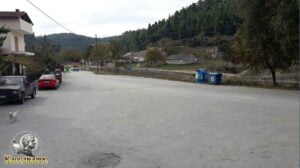 (altitude = 77m)
it has an intersection and we will continue our journey to the left towards the small bridge (it is an asphalt road).
3. After 270 m (wpt 3) 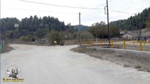 (altitude = 76m)
we will meet the intersection with the small bridge and continue our course to the right over the small bridge and then straight on the main dirt road.
4. We continue our course following the main dirt road until at 2.08 km we meet (wpt 4) 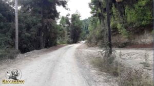 (altitude = 161m)
it has an intersection and we will continue straight uphill without leaving the main dirt road.
5. At 3.09 km we will meet (wpt 5) 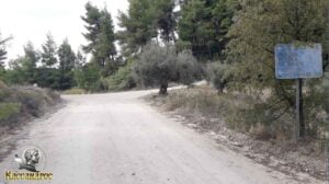 (altitude = 252m)
it has an intersection and we will continue our course to the right to have a better view of the Kassandra Peninsula. (it also has a sign)
6. At 3.46 km we will meet (wpt 6) 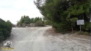 (altitude = 286m)
has an intersection where
1. To the right it goes towards the Rachona fire station and
2. To the left goes to Mola Kalyva. We continue left towards Mola Kalyva.
7. At 3.97 km we will meet (wpt 7) 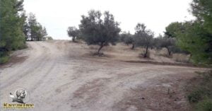 (altitude = 287m)
it has an intersection and we will continue our course left uphill on the central dirt road.
8. At 4.15 km we will meet (wpt 8) 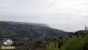 (altitude = 284m)
it has a fantastic view point towards Nea Skioni and Loutra Agia Paraskevi.
We continue our course straight.
9. At 4.61 km we will meet (wpt 9) 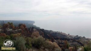 (altitude = 294m)
it has a fantastic view point towards Mola Kalyva, Nea Skioni and Loutra Agia Paraskevi, Aegean Sea. We continue our course to the right following the main dirt road.
10. At 4.74 km we will meet (wpt 10)  (altitude = 279m)
it has an intersection and we will continue our course to the left downhill following the main dirt road.
11. At 5.14 km we will meet (wpt 11) 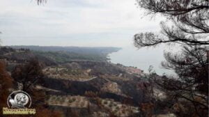 (altitude = 224m)
it has a fantastic view point towards Mola Kalyva, Nea Skioni and Loutra Agia Paraskevi, Aegean Sea. We continue our journey straight downhill following the main dirt road.
12. At 5.19 km we will meet (wpt 12) 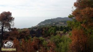 (altitude = 215m)
it has a fantastic view point towards the area of Mendi and the Aegean Sea. We continue our journey straight downhill following the main dirt road.
13. Στο 5,25 km θα συναντήσουμε το (wpt 13) 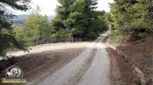 (altitude = 209m)
it has an intersection and we will continue our course to the left following the main dirt road.
14. At 5.47 km we will meet (wpt 14) 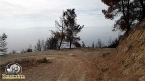 (altitude = 180m)
it has an amazing view point where straight ahead we see Mount Olympus and the Aegean sea and it also has an intersection where we will continue our course to the left downhill following the main dirt road.
15. At 6.00 km we will meet (wpt 15) 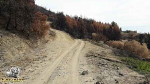 (altitude = 153m)
it has an intersection and we will continue our course straight – right downhill without leaving the main dirt road..
16. At 6.52 km we will meet (wpt 16) 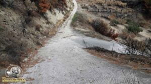 (altitude = 97m)
it has an intersection where we will continue our course to the right downhill (concrete road) .
17. At 6.95 km we will meet (wpt 17) 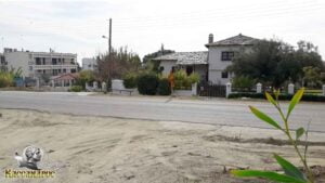 (altitude = 24m)
there is the intersection with the Nea Skionis - Kassandreas E.O. We continue our course vertically - straight down the road and we reach Mola Kalyva.
18. At 7.01 km we will meet (wpt 18) 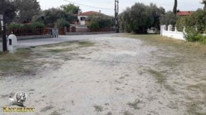 (altitude = 12m)
we have reached Mola Kalyva. Here you will find taverns and fish taverns where you can enjoy your food as well as beaches to rest and enjoy your swim.
END OF ROUTE
SOURCE: www.kassandra-guide.gr
ASSOCIATION ROOMS-APARTMENTS FOR RENT
HEADQUARTERS: 63077 Kallithea Halkidiki
Phone. : +306978099854
E-mail: ammonzeus2012@gmail.com
The Association Ammon Zeus is an organization based on the idea of individual apartment-enterprises joining together in an association.
Founded in times of an economical crisis, the intention of this community is to support each other in implementing new projects and
to realize new agreements with regional, national and international associations.
Our organization is present at international tourist-fairs, operates in cooperation with local authorities, is involved with environmental protection,
supports development-plans of the region and is represented at cultural events in Kassandra.
New companies are welcome to join our project with the objective to establish further co-operations and enable new possibilities to optimize tourism.
Kassandra is a place with landscapes of unique beauty, a wide variety of local products and warm hospitality. It is our responsibility to represent this region in the best possible way.
Sincerely
GEORGIOS THOMASOULIS
President of Association
Subscribe to our newsletter
Board of Directors of Ammon Zeus Association:
- CHAIRMAN GEORGIOS THOMASOULIS
- VICE PRESIDENT : POPPIS IOANNIS
- G. SECRETARY : CHARALAMPIDIS EFTHYMIOS
- CASHIER: ANTONIADOU FOTEINI
- Deputy G. SECRETARY: LONGINIDIS IOANNIS
- MEMBERS SAKALIS DIMITRIOS
- MEMBERS POPPI CHRISTINA
Ammon Zeus
ASSOCIATION OF ROOMS-APARTMENTS FOR RENT
- HEADQUARTERS: 63077 Kallithea Halkidiki
- Phone: +306978099854
- Email: ammonzeus2012@gmail.com


