Accommodation in Kallithea, Halkidiki
Route Kassandria - Lekani - Fourka 7.62 km

From Thessaloniki: (50 minutes) We move along E.Odou Thessaloniki - Kassandreia and take the exit towards Kassandreia
Route information for cycling
KASSANDREA - LEKANI - FOURKA
Starting point: Kassandria
Termination: Fourka
Total Route: 7.62 Km
Minimum Altitude: 30m
Maximum Altitude: 188m
Altitude difference of ascent: 191m
Altitude difference of descent: 194m
Τrackpoints:279
Degree of Difficulty: it is a difficult and uphill route to the Lekani area (Vrysi total 2.47 km) needs a bike for dirt and stones and needs a little attention on the downhills.
Road conditions : It is a combination of asphalt (2%) and dirt road (98%) with fantastic views and through trees.
Route safety: it is a route that a car (jeep) can also follow for greater safety.
In some places you may even come across beehives. because the area is a forest and local honey is produced.
Route Information for Hiking
KASSANDREA - LEKANI - FOURKA
Starting point: Kassandria
Termination: Fourka
Total Route: 7.62 Km
Minimum Altitude: 30m
Maximum Altitude: 188m
Altitude difference of ascent: 191m
Altitude difference of descent: 194m
Τrackpoints:279
Degree of Difficulty: it is a difficult and uphill route to the Lekani area (Vrysi total 2.47 km) you need shoes for dirt and stones while you need a little attention on the downhills..
Road conditions : It is a combination of asphalt (2%) and dirt road (98%) with fantastic views and through trees.
Route safety: it is a route that a car (jeep) can also follow for greater safety.
In some places you may even come across beehives. because the area is a forest and local honey is produced.
Track details and analysis
1. (wpt 1) (altitude = 43m)

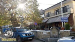
The beginning of the route is in the central square of the city, where the visitor can take a short break in front of the waters of the waterfall or for some coolness under the century-old old plane tree of the city.
Η Κασσάνδρεια βρίσκεται στη μέση της χερσονήσου της Κασσάνδρας είναι η έδρα του Δήμου Κασσάνδρας, καθώς είναι το μεγαλύτερο χωριό της Χερσονήσου.. Αποτελεί πνευματικό, εμπορικό και διοικητικό κέντρο της περιοχής και οι δραστηριότητες που αναπτύσσονται γύρω από αυτή, είναι το
Folklore Museum of the Cultural Association of Kassandreia
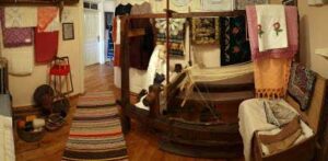
with its dance ensembles, the Municipal Conservatory, the Municipal Philharmonic, , culminating in the Sibiri Festival, which it organizes every year in the open theater of Sibir, they are the best, to make the city a spiritual center .

We will start our route, straight towards the opposite narrow
2. At 20 m we meet (wpt 2) 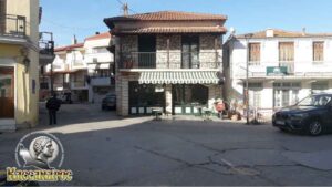 (altitude = 42m)
it has an intersection and we continue straight ahead uphill (it's an asphalt road)
3. After 210 m (wpt 3)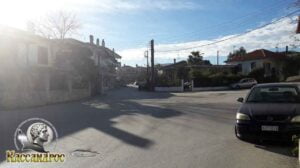 (altitude = 42m)
has an intersection and we continue our course left slightly straight following the asphalt road.
4. We continue our course until at 450 m we meet (wpt 4)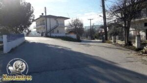 (altitude = 45m)
has an intersection and we will continue to the right towards the Lekani area.
5. At 550 m we will meet (wpt 5)
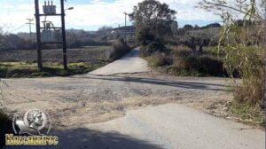
(altitude = 48m)
it has an intersection and we will continue our course straight uphill for the next 300m it is asphalt, then it is dirt road.
6. At 940 m we will meet (wpt 6)

(altitude = 58m)
it has an intersection and we will turn left uphill following the main dirt road.
For about 150m the uphill has stones.
7. At 1.60 km we will meet (wpt 7)
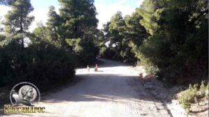
(altitude = 110m)
it has an intersection and we will continue straight following the main dirt road
8. At 2.10 km we will meet (wpt 8)
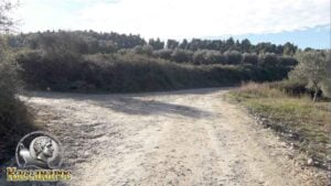
(altitude = 144m)
where is the intersection where
1. To the left goes to the church of Agios Athanasios and
2. Straight ahead, slightly to the right, our path continues following the main dirt road.
9. Στο 2,47 km θα συναντήσουμε το (wpt 9)(υψόμετρο = 149m)
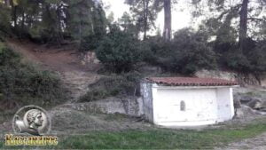
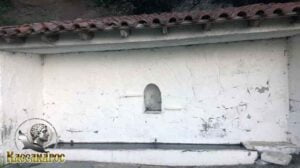
we arrived at Lekani area and there is an Old Faucet. There, the Kassandra forest office also has a map that lets you know where you are.
10. At 2.49 km we will meet (wpt 10) (altitude = 151m)
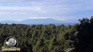
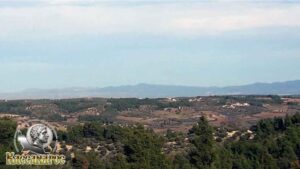
it has a fantastic view point towards Mount Olympus and towards Nea Potidea and the wider area in general, while there is also an intersection where
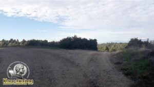
1. left goes towards Fourka and
2. Right goes to Siviri and the Open Amphitheater.
We continue our course to the left towards the village of Fourka.
11. At 3.90 km we will meet (wpt 11)
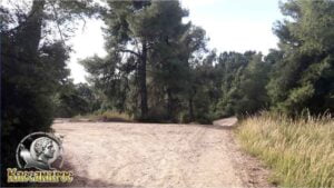
(altitude = 186m)
it has an intersection and we will continue our course straight downhill without leaving the main dirt road.
12. At 4.15 km we will meet (wpt 12) 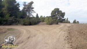 (altitude = 174m)
it has an intersection and we will continue our journey by turning left following the main dirt road.
13. Στο 4,53 km θα συναντήσουμε το (wpt 13) 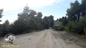 (altitude = 180m)
where there is an intersection and we will continue our journey straight downhill following the main dirt road.
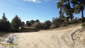
14. Στο 4,93 km θα συναντήσουμε το (wpt 14)
 (altitude = 176m)
υπάρχει μια διασταύρωση όπου
1. To the right goes to the small church of Prophet Ilias and
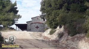
2. Straight downhill goes to Fourka.
We continue our course straight downhill.
15. At 5.22 km we will meet (wpt 15) (altitude = 182m)
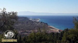
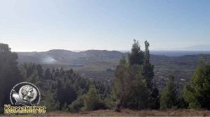
we will meet an amazing view point for photos looking south at Skala Fourkas, the cape (Glossa) from Poseidi, Kalandra, West Olympus and east the peak from Mount Athos (Mount Athos) while there is an intersection where
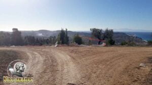
1. left goes towards Fourka and
2. Turn right towards Skala Fourkas.
We will continue our course to the left towards Fourka without leaving the main dirt road.
16. At 5.83 km we will meet (wpt 16)  (altitude = 136m)
where there is an intersection and we will continue our journey by turning right uphill.
17. At 6.91 km we will meet (wpt 17) 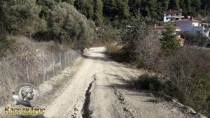 (altitude = 48m)
we will meet an intersection where we will continue our course straight without leaving the main dirt road.
18. At 6.97 km we will meet (wpt 18) 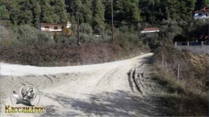 (altitude = 40m)
where there is an intersection, we will continue our course slightly to the right towards Fourka.
19. Στο 7,28 km θα συναντήσουμε το (wpt 19) 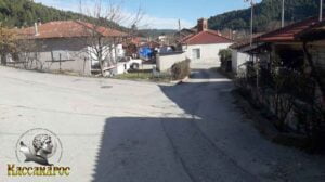 (altitude = 42m)
where there is an intersection, we will continue our course to the right towards Fourka
20. At 7.42 km we will meet (wpt 20) 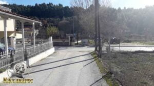 (altitude = 34m)
where there is an intersection, we will continue our journey to the left towards the central square of Fourka
21. At 7.47 km we will meet (wpt 21) 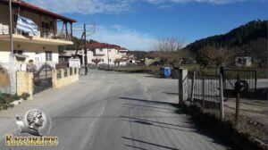 (altitude = 31m)
there is an intersection, we will continue our course to the left towards the central square of Fourka
22. At 7.62 km we will meet (wpt 22) (altitude = 94m) we have reached the central square of Fourka
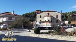
and the central church of Fourka
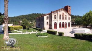
which is dedicated to the Three Hierarchs and was built according to plans by Fourkiot Architect Xenophon Paionides.
The village of Fourka is a small traditional village where you can enjoy your coffee, taste your food in the taverns and at a distance of 4 kilometers you can visit Skala Fourka (Beach) where you can enjoy your bath and also enjoy your coffee and try the seafood meals in the coastal fish taverns.
END OF ROUTE
SOURCE: www.kassandra-guide.gr
ASSOCIATION ROOMS-APARTMENTS FOR RENT
HEADQUARTERS: 63077 Kallithea Halkidiki
Phone. : +306978099854
E-mail: ammonzeus2012@gmail.com
The Association Ammon Zeus is an organization based on the idea of individual apartment-enterprises joining together in an association.
Founded in times of an economical crisis, the intention of this community is to support each other in implementing new projects and
to realize new agreements with regional, national and international associations.
Our organization is present at international tourist-fairs, operates in cooperation with local authorities, is involved with environmental protection,
supports development-plans of the region and is represented at cultural events in Kassandra.
New companies are welcome to join our project with the objective to establish further co-operations and enable new possibilities to optimize tourism.
Kassandra is a place with landscapes of unique beauty, a wide variety of local products and warm hospitality. It is our responsibility to represent this region in the best possible way.
Sincerely
GEORGIOS THOMASOULIS
President of Association
Subscribe to our newsletter
Board of Directors of Ammon Zeus Association:
- CHAIRMAN GEORGIOS THOMASOULIS
- VICE PRESIDENT : POPPIS IOANNIS
- G. SECRETARY : CHARALAMPIDIS EFTHYMIOS
- CASHIER: ANTONIADOU FOTEINI
- Deputy G. SECRETARY: LONGINIDIS IOANNIS
- MEMBERS SAKALIS DIMITRIOS
- MEMBERS POPPI CHRISTINA
Ammon Zeus
ASSOCIATION OF ROOMS-APARTMENTS FOR RENT
- HEADQUARTERS: 63077 Kallithea Halkidiki
- Phone: +306978099854
- Email: ammonzeus2012@gmail.com


