Accommodation in Kallithea, Halkidiki
Route Agios Nikolaos (Kanistro) - Paliouri 15.15 Km

From Thessaloniki: (1.45 hours) We move on E.Odou Thessaloniki - Kassandrea and take the Exit to
- Kallithea and then to Pefkohori – Paliouri – Kanistro (Agios Nikolaos)
- Kassandria – Siviri – Loutra Agia Paraskevi – Agia Paraskevi – Paliouri – Kanistro (Agios Nikolaos)
Route information for cycling
AGIOS NIKOLAOS (KANISTRO) - PALIOURI
Starting point: Agios Nikolaos (Kanistro)
End: Paliouri
Total Route: 15.15 Km
Minimum Altitude:-5m
Maximum Altitude: 171m
Altitude difference of ascent: 416m
Altitude difference of descent: 288m
Τrackpoints:500
Degree of Difficulty: it is difficult, has big hills, needs a bike for dirt and stones.
Road conditions: It is a combination of asphalt (2%) and dirt road (98%).
Route safety: it is a route with amazing viewpoints as it is located on the edge of the Kassandra peninsula and can be followed by a car (jeep) for greater safety.
In some places you may even come across beehives. because the area is a forest and local honey is produced.
Route Information for Hiking
AGIOS NIKOLAOS (KANISTRO) - PALIOURI
Starting point: Agios Nikolaos (Kanistro)
End: Paliouri
Total Route: 15.15 Km
Minimum Altitude:-5m
Maximum Altitude: 171m
Altitude difference of ascent: 416m
Altitude difference of descent: 288m
Τrackpoints:500
Degree of Difficulty: it is difficult, has big uphills, requires shoes for dirt and stones.
Road conditions: It is a combination of asphalt (2%) and dirt road (98%).
Route safety: it is a route with amazing viewpoints as it is located on the edge of the Kassandra peninsula and can be followed by a car (jeep) for greater safety.
In some places you may even come across beehives. because the area is a forest and local honey is produced.
Track details and analysis
1. (wpt 1)
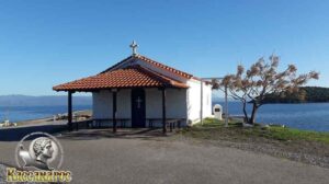 (altitude = 4m)
The beginning of the route is at the church of Agios Nikolaos in the Kanistro area. Here, too, you can see the view of Toroneos Gulf, the peak from Mount Athos (Mount Athos), the tip of the Sithonia Peninsula.
We will start our journey following the asphalt towards the first buildings.2. At 300 m we turn left as we meet (wpt 2)
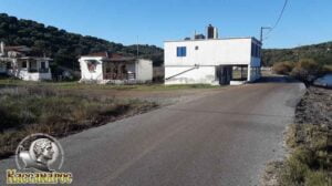
(altitude = 1 m)
and we continue our route following the road on the left parallel to the beach (it is a dirt road).3. After 1.00 km (wpt 3)
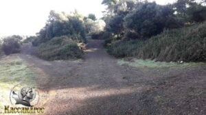
(altitude = 1 m)
we will meet a triple junction and continue our course straight following the main dirt road.4. After 4 m in 1.04 km we will meet (wpt 4)
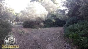
(altitude = 5 m)
it has an intersection and we will continue right uphill following the main dirt road.5. At 1.10 km we will meet (wpt 5)
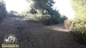
(altitude = 13m)
it has an intersection and we will continue our course to the right following the main dirt road.6. At 2.10 km we will meet (wpt 6)
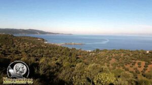
(altitude = 69m)
it has a view point where we can admire the entire Toronean Gulf, the western side of the Sithonia Peninsula, the peak from Mount Athos (Mount Athos), the tip of the Sithonia Peninsula, Agios Nikolaos (Kanistro).
We continue our journey straight along the main dirt road.7. At 2.31 km we will meet (wpt 7)
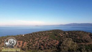
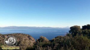
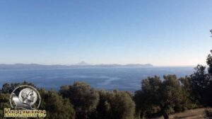
(altitude = 100m)
The view is magnificent as we see, when the atmosphere is clear, the entire Toronean Gulf, the western side of the Sithonia Peninsula, the peak from Mount Athos (Mount Athos), the tip of the Sithonia Peninsula, Agios Nikolaos (Kanistro).
We continue our journey straight along the main dirt road.
8. At 2.70 km we will meet (wpt 8)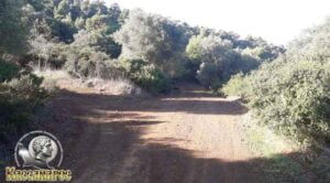
(altitude = 101m)
where there is an intersection and we will continue our journey straight downhill following the main dirt road.
9. At 2.84 km we will meet (wpt 9)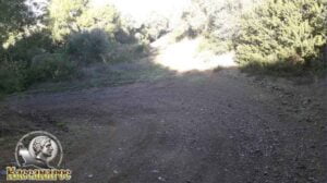
(altitude = 97m)
where there is an intersection and we will continue our course to the left downhill following the main dirt road.
10. At 3.80 km we will meet (wpt 10)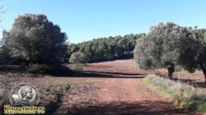
(altitude = 48m)
where there is an intersection and we will continue our course to the right following the main dirt road.
11. At 3.84 km we will meet (wpt 11)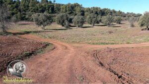
(altitude = 47m)
it has an intersection and we will continue our journey by turning left following the main dirt road.
12. At 3.97 km we will meet (wpt 12)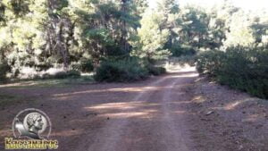
(altitude = 53m)
it has an intersection and we will continue our course to the right uphill without leaving the main dirt road.
13. At 4.79 km we will meet (wpt 13)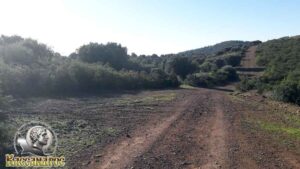
(altitude = 93m)
it has an intersection and we will continue our course to the right slightly straight downhill following the main dirt road.
14. At 5.52 km we will meet (wpt 14)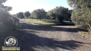
(altitude = 65m)
it has an intersection and we will continue our course to the right following the main dirt road.
15. At 6.49 km we will meet (wpt 15)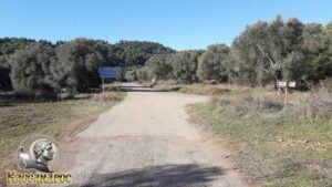
(altitude = 50 m)
it has an intersection and we will continue our course to the right meeting the forest road of Kanistrou - Paliouri which is asphalt.
16. At 6.79 km we will meet (wpt 16)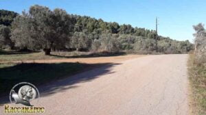
(altitude = 60m)
it has an intersection and we will continue our journey to the left, leaving the Kanistrou – Paliouri forest road which is asphalt and entering the dirt road.
17. At 7.41 km we will meet (wpt 17)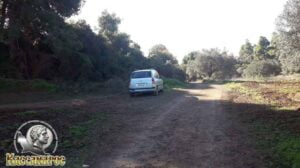
(altitude = 67m)
where there is an intersection and we will continue our course straight following the main dirt road.
18. At 7.81 km we will meet (wpt 18)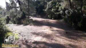
(altitude = 52m)
where there is an intersection and we will continue our journey straight uphill following the main dirt road.
19. At 8.49 km we will meet (wpt 19)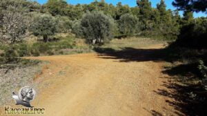
(altitude = 128m)
where there is an intersection, and we will continue our course straight slightly to the left following the main dirt road.
20. At 9.22 km we will meet (wpt 20)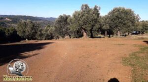
(altitude = 168m)
there is an intersection, and we will continue our course to the left downhill following the main dirt road.
21. At 9.41 km we will meet (wpt 21)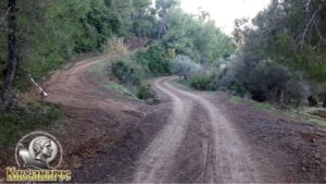
(altitude = 155m)
there is an intersection, and we will continue our course straight downhill following the main dirt road.
22. At 9.75 km we will meet (wpt 22)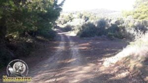
(altitude = 130m)
where there is an intersection, and we will continue our course straight slightly to the left following the main dirt road.
23. At 10.75 km we will meet (wpt 23)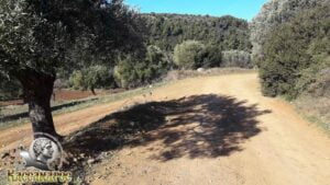
(altitude = 93m)
where there is an intersection and we will continue our course to the right downhill following the main dirt road.
24. At 11.35 km we will meet (wpt 24)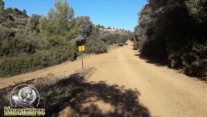
(altitude = 91m)
where there is an intersection and we will continue our course to the right uphill following the main dirt road.
25. At 11.71 km we will meet (wpt 25)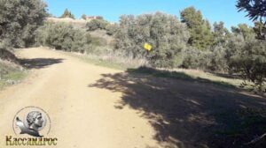
(altitude = 115m)
where there is an intersection and we will continue our course to the left uphill following the main dirt road.
26. At 12.00 km we will meet (wpt 26)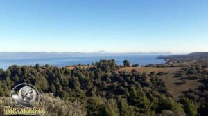
(altitude = 120m)
there is a view point that when it has a clear atmosphere, we can see the whole Toronean Gulf, the western side of Sithonia Peninsula, the peak from Mount Athos (Holy Mount), the tip of Sithonia Peninsula, we continue our course straight.
27. At 12.54 km we will meet (wpt 27)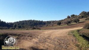
(altitude = 143m)
where there is an intersection and we will turn right following the main dirt road.
28. At 12.78 km we will meet (wpt 28)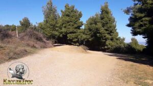
(altitude = 158m)
there is the intersection where we will turn left following the main dirt road.
29. At 12.95 km we will meet (wpt 29)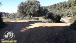
(altitude = 162m)
there is the intersection where we will turn left downhill following the main dirt road.
30. At 13.28 km we will meet (wpt 30)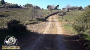
(altitude = 146m)
there is an intersection where we will continue our course straight uphill
31. At 13.40 km we will meet (wpt 31)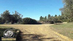
(altitude = 154m)
there is an intersection where we will continue our course to the right following the main dirt road.
32. At 13.98 km we will meet (wpt 32)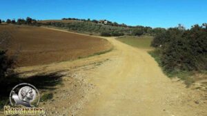
(altitude = 133m)
there is an intersection where we will continue our journey straight uphill following the main dirt road.
33. At 14.06 km we will meet (wpt 33)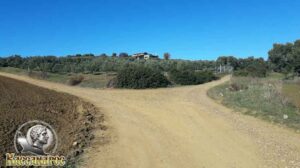
(altitude = 134m)
there is an intersection where we will continue our course to the left uphill following the main dirt road.
34. At 14.30 km we will meet (wpt 34)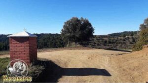
(altitude = 153m)
there is an intersection where we will continue our course to the right downhill following the main dirt road.
35. At 14.61 km we will meet (wpt 35)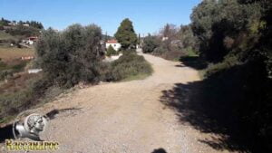
(altitude = 136m)
we will meet an intersection and continue our course straight towards the asphalt for the entrance of Paliouri
36. At 14.84 km we will meet (wpt 36)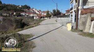
(altitude = 132m)
we will meet an intersection and continue our course straight following the asphalt to Paliouri square.
37. At 14.93 km we will meet (wpt 37)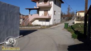
(altitude = 130m)
we will meet an intersection and continue our course to the left following the asphalt to the square of Paliouri.
38. Στο 14,98 km θα συναντήσουμε το (wpt 38)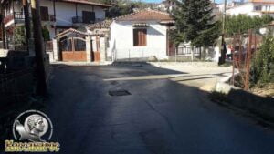
(altitude = 129m)
we will meet an intersection and continue our course to the right following the asphalt to Paliouri square.
39. At 15.05 km we will meet (wpt 39)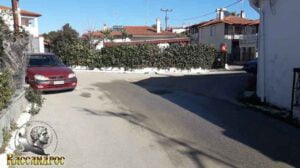
(altitude = 135m)
we will meet an intersection and continue our course to the right following the asphalt to Paliouri square.
40. Στο 15,07 km θα συναντήσουμε το (wpt 40)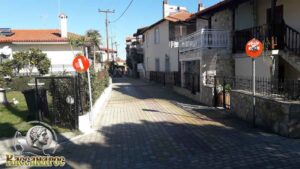
(altitude = 135m)
we will meet an intersection and continue our course to the left following the asphalt to the square of Paliouri.
41. At 15.15 km we will meet (wpt 41)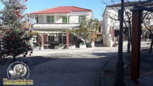
(altitude = 135m)
we arrived at the central square of Paliouri.
In the wider area of Paliouri you will find rooms for rent, hotels, wonderful taverns and bars to enjoy your walk in the area.
END OF ROUTE
SOURCE: www.kassandra-guide.gr
ASSOCIATION ROOMS-APARTMENTS FOR RENT
HEADQUARTERS: 63077 Kallithea Halkidiki
Phone. : +306978099854
E-mail: ammonzeus2012@gmail.com
The Association Ammon Zeus is an organization based on the idea of individual apartment-enterprises joining together in an association.
Founded in times of an economical crisis, the intention of this community is to support each other in implementing new projects and
to realize new agreements with regional, national and international associations.
Our organization is present at international tourist-fairs, operates in cooperation with local authorities, is involved with environmental protection,
supports development-plans of the region and is represented at cultural events in Kassandra.
New companies are welcome to join our project with the objective to establish further co-operations and enable new possibilities to optimize tourism.
Kassandra is a place with landscapes of unique beauty, a wide variety of local products and warm hospitality. It is our responsibility to represent this region in the best possible way.
Sincerely
GEORGIOS THOMASOULIS
President of Association
Subscribe to our newsletter
Board of Directors of Ammon Zeus Association:
- CHAIRMAN GEORGIOS THOMASOULIS
- VICE PRESIDENT : POPPIS IOANNIS
- G. SECRETARY : CHARALAMPIDIS EFTHYMIOS
- CASHIER: ANTONIADOU FOTEINI
- Deputy G. SECRETARY: LONGINIDIS IOANNIS
- MEMBERS SAKALIS DIMITRIOS
- MEMBERS POPPI CHRISTINA
Ammon Zeus
ASSOCIATION OF ROOMS-APARTMENTS FOR RENT
- HEADQUARTERS: 63077 Kallithea Halkidiki
- Phone: +306978099854
- Email: ammonzeus2012@gmail.com


